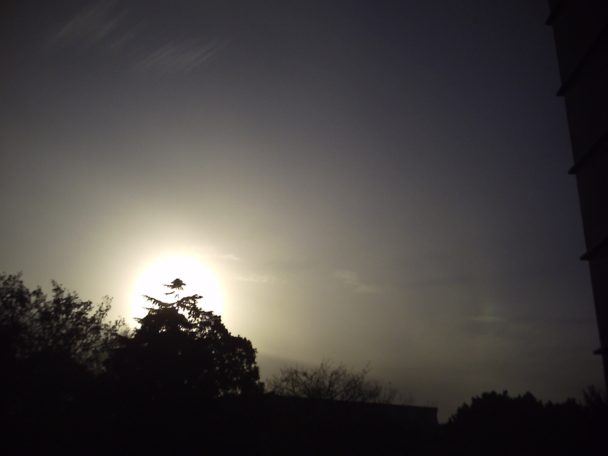
Altocumulus
Mid-level clouds that often appear in patches or waves. Can be white or gray.
Mid-level
Can produce light rain or drizzle
Altocumulus (From Latin Altus, "high", cumulus, "heaped") is a middle-altitude cloud genus that belongs mainly to the stratocumuliform physical category characterized by globular masses or rolls in layers or patches, the individual elements being lar
Altostratus
Mid-level clouds that often cover the entire sky and can obscure the sun or moon. Can be white or gray.
Mid-level
Can produce light rain or drizzle
Altostratus is a middle-altitude cloud genus made up of water droplets, ice crystals, or a mixture of the two. Altostratus clouds are formed when large masses of warm, moist air rise, causing water vapor to condense. Altostratus clouds are usually gr
Beavers tail cloud
Clouds that have a long, thin, and wavy appearance and are often associated with fair weather. Can be white or gray.
Low-level
Do not produce precipitation
Cirrocumulus
High-level clouds that often appear in small, white patches or wavy lines. Can be white or gray.
High-level
Rarely produce precipitation
Cirrocumulus is one of the three main genus-types of high-altitude tropospheric clouds, the other two being cirrus and cirrostratus. They usually occur at an altitude of 5 to 12 km (16,000 to 39,000 ft). Like lower-altitude cumuliform and stratocumul
Cirrostratus
High-level clouds that often cover the entire sky and can cause halos around the sun or moon. Can be white or gray.
High-level
Rarely produce precipitation
Cirrostratus is a high-level, very thin, generally uniform stratiform genus-type of cloud. It is made out of ice-crystals, which are pieces of frozen water. It is difficult to detect and it can make halos. These are made when the cloud takes the for
Cirrus
Thin, wispy clouds that often have a wavy or curly appearance. Can be white or gray.
High-level
Rarely produce precipitation
Contrails
Long, narrow clouds that are formed by the exhaust from airplanes. Can be white or gray.
High-level
Do not produce precipitation
Contrails (; short for "condensation trails") or vapor trails are line-shaped clouds produced by aircraft engine exhaust or changes in air pressure, typically at aircraft cruising altitudes several miles above the Earth's surface. Contrails are co
Cumulonimbus
Large, tall clouds that are often associated with thunderstorms. Can have a flat base and a towering, anvil-shaped top.
Low to high-level
Can produce heavy rain, hail, and lightning
Cumulonimbus (from Latin cumulus, "heaped" and nimbus, "rainstorm") is a dense, towering vertical cloud, typically forming from water vapor condensing in the lower troposphere that builds upward carried by powerful buoyant air currents. Above the low
Cumulus
Large, fluffy clouds that often resemble cotton balls. Can be white or gray.
Low to mid-level
Can produce rain or snow
Cumulus clouds are clouds which have flat bases and are often described as "puffy", "cotton-like" or "fluffy" in appearance. Their name derives from the Latin cumulo-, meaning heap or pile. Cumulus clouds are low-level clouds, generally less than 2,0
Fallstreak hole
A hole that appears in a cloud layer and is caused by the falling of ice crystals through the cloud. Can be white or gray.
Low to mid-level
Do not produce precipitation
A fallstreak hole (also known as a cavum, hole punch cloud, punch hole cloud, skypunch, cloud canal or cloud hole) is a large gap, usually circular or elliptical, that can appear in cirrocumulus or altocumulus clouds. The holes are caused by supercoo
Kelvin wave
A wave that is formed in the atmosphere and is often associated with changes in wind direction or speed. Can be white or gray.
Low to high-level
Do not produce precipitation
A Kelvin wave is a wave in the ocean or atmosphere that balances the Earth's Coriolis force against a topographic boundary such as a coastline, or a waveguide such as the equator. A feature of a Kelvin wave is that it is non-dispersive, i.e., the pha
Kelvin-Helmholtz cloud
Clouds that have a wavy or wave-like appearance and are often formed by the interaction of two different air masses with different densities. Can be white or gray.
Low to high-level
Rarely produce precipitation
The Kelvin–Helmholtz instability (after Lord Kelvin and Hermann von Helmholtz) is a fluid instability that occurs when there is velocity shear in a single continuous fluid or a velocity difference across the interface between two fluids. Kelvin-Helmh
Lenticular
Clouds that have a lens or almond-shaped appearance and are often formed over mountains. Can be white or gray.
Mid to high-level
Rarely produce precipitation
Lenticular is an adjective often relating to lenses. It may refer to:
A term used with two meanings in botany: see Glossary of botanical terms § lenticular Lenticular cloud, a lens-shaped cloud Lenticular galaxy, a lens-shaped galaxy Mackerel sky
A pattern of clouds that have a wavy or rippled appearance and are often associated with fair weather. Can be white or gray.
Low-level
Do not produce precipitation
A mackerel sky is a common term for clouds made up of rows of cirrocumulus or altocumulus clouds displaying an undulating, rippling pattern similar in appearance to fish scales; this is caused by high altitude atmospheric waves.
Cirrocumulus appears
Mammatus
Clouds that have a rounded, pouch-like appearance and are often associated with severe thunderstorms. Can be white or gray.
Low to high-level
Can produce heavy rain, hail, and lightning
Mammatus (also called mamma or mammatocumulus, meaning "mammary cloud") is a cellular pattern of pouches hanging underneath the base of a cloud, typically a cumulonimbus raincloud, although they may be attached to other classes of parent clouds. The
Morning glory cloud
Clouds that have a long, narrow, and tubular appearance and are often seen in the morning or early afternoon. Can be white or gray.
Low-level
Do not produce precipitation
The Morning Glory cloud is a rare meteorological phenomenon consisting of a low-level atmospheric solitary wave and associated cloud, occasionally observed in different locations around the world. The wave often occurs as an amplitude-ordered series
Mural cloud
Clouds that are formed by the rising and cooling of air as it moves over a wall or other vertical surface. Can be white or gray.
Low to mid-level
Rarely produce precipitation
Nimbostratus
Low, thick clouds that often produce continuous rain or snow. Can be dark gray or black.
Low to mid-level
Can produce heavy rain or snow
A nimbostratus cloud is a multi-level, amorphous, nearly uniform and often dark grey cloud that usually produces continuous rain, snow or sleet but no lightning or thunder.
Although it is usually a low-based cloud, it actually forms most commonly in
Noctilucent
Very high-level clouds that are often visible at night and can appear blue or silver.
Very high-level
Do not produce precipitation
Noctilucent clouds, or night shining clouds, are tenuous cloud-like phenomena in the upper atmosphere of Earth. When viewed from space, they are called polar mesospheric clouds (PMCs), detectable as a diffuse scattering layer of water ice crystals ne
Opacity clouds
Clouds that are formed by particles in the air, such as dust, smoke, or pollution, and can obscure the sun or moon. Can be white or gray.
Low to high-level
Do not produce precipitation
Orographic clouds
Clouds that are formed by the rising and cooling of air as it moves over mountains. Can be white or gray.
Low to high-level
Can produce rain or snow
Pileus cloud
Thin clouds that often appear as a hood or cap on top of other clouds. Can be white or gray.
Low to high-level
Rarely produce precipitation
A pileus (; Latin for "cap"), also called scarf cloud or cap cloud, is a small, horizontal, lenticular cloud appearing above a cumulus or cumulonimbus cloud. Pileus clouds are often short-lived, with the main cloud beneath them rising through convect
Pyrocumulus
Clouds that are formed by the rising and cooling of hot air, such as from a wildfire or volcanic eruption. Can be white or gray.
Low to high-level
Rarely produce precipitation
A flammagenitus cloud, also known as a flammagenitus, pyrocumulus cloud, or fire cloud, is a dense cumuliform cloud associated with fire or volcanic eruptions. A flammagenitus is similar dynamically in some ways to a firestorm, and the two phenomena
Roll cloud
Clouds that have a low, horizontal, and rolling appearance and are often associated with cold fronts. Can be white or gray.
Low-level
Rarely produce precipitation
An arcus cloud is a low, horizontal cloud formation, usually appearing as an accessory cloud to a cumulonimbus. Roll clouds and shelf clouds are the two main types of arcus clouds. They most frequently form along the leading edge or gust fronts of th
Scud cloud
Clouds that have a low, ragged, and torn appearance and are often associated with thunderstorms or other unstable weather. Can be white or gray.
Low-level
Can produce light rain or drizzle
Pannus, or scud clouds, is a type of fractus cloud at low height above ground, detached, and of irregular form, found beneath nimbostratus, cumulonimbus, altostratus and cumulus clouds. These clouds are often ragged or wispy in appearance. When caugh
Shelf cloud
Clouds that have a low, horizontal appearance and are often associated with thunderstorms. Can be white or gray.
Low-level
Can produce heavy rain, hail, and lightning
An arcus cloud is a low, horizontal cloud formation, usually appearing as an accessory cloud to a cumulonimbus. Roll clouds and shelf clouds are the two main types of arcus clouds. They most frequently form along the leading edge or gust fronts of th
Stratocumulus
Low-level clouds that often appear in a broken layer or as individual rounded masses. Can be white or gray.
Low-level
Rarely produce precipitation
A stratocumulus cloud, occasionally called a cumulostratus, belongs to a genus-type of clouds characterized by large dark, rounded masses, usually in groups, lines, or waves, the individual elements being larger than those in altocumulus, and the who
Stratus
Low, featureless clouds that often cover the entire sky. Can be white or gray.
Low-level
Can produce light rain or drizzle
Updraft tower
Clouds that have a tall, vertical appearance and are often associated with thunderstorms. Can be white or gray.
Low to high-level
Can produce heavy rain, hail, and lightning
Wall cloud
Clouds that have a low, horizontal appearance and are often associated with thunderstorms. Can be white or gray.
Low-level
Can produce heavy rain, hail, and lightning
A wall cloud (murus or pedestal cloud) is a large, localized, persistent, and often abrupt lowering of cloud that develops beneath the surrounding base of a cumulonimbus cloud and from which tornadoes sometimes form. It is typically beneath the rain-
Wave cloud
Clouds that have a wave-like appearance and are often formed by the rising and cooling of air as it moves over mountains or other obstacles. Can be white or gray.
Low to high-level
Rarely produce precipitation
A wave cloud is a cloud form created by atmospheric internal waves.