Skip to content
Share
Explore
 Coraladies Feedback Call
Schedule a call to support our work

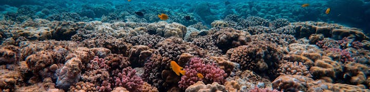
Return corals to their homes
Coraladies was born as part of the mothership hackathon - the Coral challenge (/).
As a team of developer/data scientist/GIS experts, we are using the satellite image to identify the sedimentation in the ocean which is detrimental for the corals, so that the NGOs could out-plant the corals in the low-risk locations.
With some initial results in place, we are looking for potential users' (NGOs, researchers, etc.) feedbacks in the coming weeks until the demo day on 8 May, with which we could continue to improve our work.
We look forward to hearing from you!
Here are our time-slots for the feedback call.
Add Topic
Which topics are you most interested to hear in the feedback call?
Done
Idea
Author
Vote
Upvotes
Upvoters
The current prototype
👍
0
0
Analysis result
👍
0
0
Development plan
👍
0
0
There are no rows in this table
Want to print your doc?
This is not the way.
This is not the way.
Try clicking the ··· in the right corner or using a keyboard shortcut (
CtrlP
) instead.